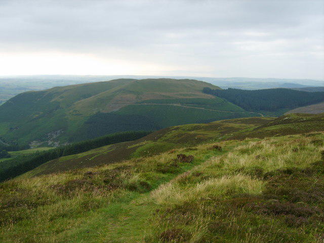
Whinlatter [Brown How - Whinlatter]

Whinlatter [Brown How - Whinlatter]

Whinlatter [Brown How - Whinlatter] Group Walks | Join a Walk

517m Elevation
16m Prominence
England Country

Join group walks, find walking companions and friends, or organise your own!

Classifications

Wainwright Birkett Sy Fellranger

Looking for walking companions?

Don't walk alone! Find friendly walkers to explore Whinlatter [Brown How - Whinlatter] together. Join scheduled group walks or start your own.

Elevation

517m

1,696 ft

Prominence

16m

Coordinates

54.6149, -3.2540

NY191251

OS Map

89 90

Explorer: OL4S

At the Summit

The summit features a stone cairn and a wooden signpost marking the height, along with breathtaking panoramic views.

Terrain & Geology

A mix of rocky outcrops and grassy slopes with areas of forested paths leading up to the summit.

The area comprises volcanic rocks, primarily lava flows and ash deposits, formed during the early Carboniferous period, which contribute to the ruggedness of the terrain.

Views & Scenery

During clear weather, you can see as far as the northern fells like Skiddaw, and the Solway Firth stretching to the west.

History & Heritage

Name Origin

The name 'Whinlatter' derives from 'whin', an old term for gorse, and 'latter', meaning a place to climb or ascent.

Historical Significance

Historically, Whinlatter has been important for forestry and local wildlife conservation, playing a key role in the Lake District's natural heritage.

Popular Routes

Whinlatter Forest Park Loop

Moderate

A scenic route through the forest leading to the summit, ideal for walkers of all levels.

5 km 2 hours

Grisedale Pike & Whinlatter Circuit

Challenging

Combines the ascent of Grisedale Pike with a traverse of Whinlatter, offering stunning views across the Lakeland fells.

10 km 4.5 hours

Getting There & Facilities

Parking

Whinlatter Forest Visitor Centre has ample parking and an information point for hikers.

Public Transport

Stagecoach bus services run regularly from Keswick to the Whinlatter area.

Nearby Facilities

The Visitor Centre offers toilets, a café serving delicious cakes, and a gift shop ensuring you leave with a little something for the folks back home.

Safety Information

Known Hazards

  • Proper footwear is essential due to steep and potentially slippery paths. Watch out for falling branches, especially in windy conditions.

General Safety Tips

  • Check weather conditions before setting out
  • Carry appropriate clothing and equipment
  • Let someone know your planned route
  • Take a map, compass, and GPS device
  • Carry emergency supplies: food, water, first aid kit, torch

Find Walking Companions

Join friendly walkers exploring Whinlatter [Brown How - Whinlatter] and surrounding area

Can't find a walk? Organise your own!

Create a walk and let others join you. It's free and easy!

Hills

Some common questions about the hills answered

Are there group walks up Whinlatter [Brown How - Whinlatter]?

Many walkers use Walkmates to join or organise walks with others. You can check for group walks around Whinlatter [Brown How - Whinlatter] through the maps

Are there other walkers around Whinlatter [Brown How - Whinlatter]?

Activity varies by location and time, but Walkmates lets you see whether others have shared walks or shown interest in this area. Find other people through the walking friends search walking friends for Whinlatter [Brown How - Whinlatter] search or of course create your own walk for Whinlatter [Brown How - Whinlatter]

Can I organise a walk to Whinlatter [Brown How - Whinlatter]?

Yes. If there aren’t any walks listed already, you can create a walk and make it available for others to join.

If you're signed up to Walkmates, you can create a walk to Whinlatter [Brown How - Whinlatter].

How do I find a walk up this hill?

There are often multiple ways to walk this hill, depending on experience and route preference. Walkmates helps you explore walks and routes that others have shared.

Can I suggest a new route up Whinlatter [Brown How - Whinlatter]?

Yes. You can suggest or create routes to share with others. Walkmates focuses on the social side of walking, so routes are used to help people organise walks and explore areas together, rather than as detailed navigation tools or route libraries.

Other uses really appreciate knowledgeable walkers sharing their routes. Share your favourite route to Whinlatter [Brown How - Whinlatter] here

The is an error or something incorrect about this hill. How do I let you know?

We always strive to keep the information on Walkmates as accurate as possible. If you find an error, please let us know through the contact form and we'll aim to correct it as quickly as possible